Friday, April 4, 2014

The Valley Of Fire


Today we took a 137 mile loop tour of the "Valley Of Fire" state park north of Las Vegas.  It was a perfect day for the trip, no wind, mild temperature (70) and just enough overcast to keep the sun from getting nasty. In another month or so this trip is likely to just be too warm for our webbed feet.  Once in the State Park the landscape reminded both of us of the Moab, UT area where ARCHES and CANYONLANDS are located. Below we share a few pictures of todays geography lesson.  We continue to discover how much more there is to the Las Vegas area then just "The Strip" (which we go out of our way to avoid.)

The trip back through the Lake Mead National Recreation Area was yet another geography lesson with lots of changes in formations and landscape.  Wasn't prepared to take pictures of that so they will be the subject of another trip.




Thursday, March 20, 2014

A Little More Exploring

Finally after several weeks of not getting out and exploring more of the Las Vegas valley (except for a trip to Mesa, AZ and back) we had time to get out today and explore a Jeep road we saw on another outing.  It took us into and area called Cottonwood Valley, part of the historic Old Spanish Trail.  I don't know why it is called Cottonwood Valley because we saw no Cottonwood but we did find a nice Jeep road and some solitude until we got to the end of the road after a couple of miles.  There we found six or eight other cars parked because about a  mile up a hiking trail there was a shear faced rock formation that is popular with the local rock climbers.  There is some serious rock climbing there.  We took several pictures of the area but somehow managed to not take a picture of that formation.  Oh well, a good excuse to go back with our good camera and lenses.  This valley leads to the Red Rock Canyon and in some of the pictures you can see parts of the Red Rock National Recreation Area in the background.


Friday, January 17, 2014

FRIDAYS JEEP TRIP


For entertainment today we took the Jeep back up into the hills south of our camping area. Here are a handful of pictures.  To our surprise and pleasure we only encountered one other vehicle on the whole trip.  Our bones thanked us when the trip was over.  They got a lot of knocking around on the rough roads and washes.  Reminded us of sailing in lumpy water.  You can never relax.

(CLICK ON PICTURES TO ENLARGE)

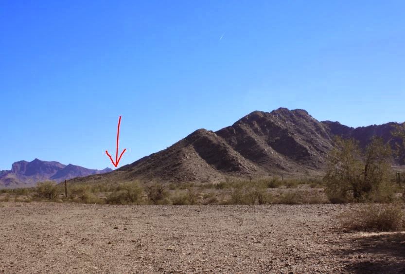
Arrow indicates approximate area we got to on second ridge.

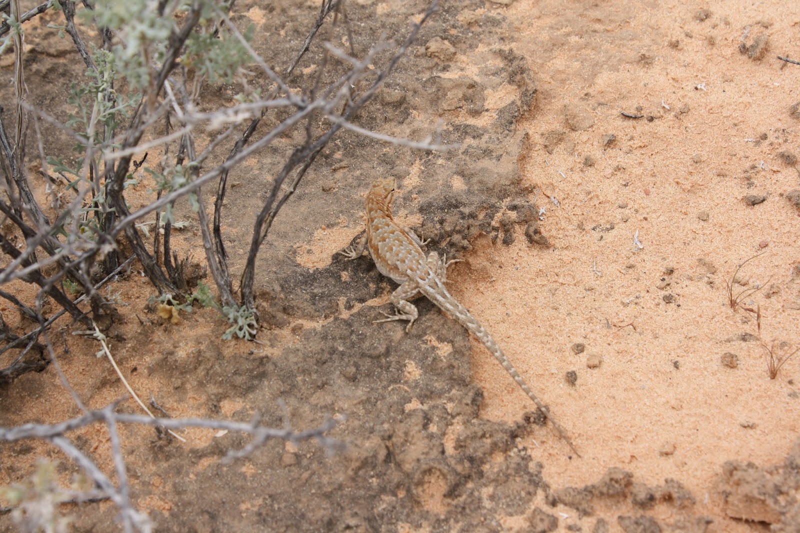
These guys look soft and furry - from a distance.

Click to enlarge and appreciate the detail.

First view looking back towards Quartzsite. From N33 34.422, W114 06.499

Telephoto from same spot above.  Now you can see RVs in the distance.

This tire cover is normally black.

Thursday, January 16, 2014

Quartzsite, Arizona

We are the coach at the far left.  Last one to arrive yesterday evening.
 We are in Quartzsite, Arizona for one of the largest RV and Gem shows in the country.  The area is primarily land that belongs to the federal Bureau of Land Management, otherwise known as BLM.  There are already thousands of RVs spread out here in the desert on BLM land and by the end of the week there will be thousands more.  The group we are with are pictured above and this is less then half the coaches expected so our group will number about 40 coaches, mostly Tiffin motor homes.  The RV show does not start until tomorrow so today is pretty laid back just getting to know some of our new neighbors.  We are "camping" in that we have no electrical or water here.  We are just "roughing it" on our built in tanks and our generator.


Jeeps are popular tow vehicles.  Lots of roads to ride on here.
Lost of space here too.


Tuesday, November 19, 2013

Valley Views


By Pacific Northwest standards there is not much breathtaking about these photos.  After all this is the middle of the Mojave Desert.  They were taken on a short day hike with our friend Larry when he and Linda were visiting us last week.  These are somewhat crudely "stitched" together photos of the view at the top of the hike and give a pretty good idea of the lay of the land on this west side of the Las Vegas valley.  If you download the panoramas  (right click on image and choose "save image as") you may be able to zoom in on them to get a better look.  Not sure you can do that within the blog.

Larry at the top.

About a 220 degree panorama of valley west side and "The Strip".

The Las Vegas Strip

Thursday, November 7, 2013

BROWNIE R.I.P.

A week ago Monday, October 28th, was another sad day for us.  Our Emergency Backup Kitty, Brownie woke us up at 3 am crying loudly.  We found her on the floor with what appeared to be a paralyzed rear end.  She could not use her back legs.  We did what we could do for her at that hour and got her to a vet later in the day.  The vet determined that she had serious heart disease and that as a result she had thrown a blood clot that lodged in her spine and caused the paralysis.  She felt too much damage had been done to hope for any recovery of the use of her legs and it was also just a matter of time before she threw another clot.  Brownie was 72 in people years.  She had a good last few weeks but we really had no choice but to say goodbye to her.  We were with her until the end and it was just as hard as it was with Gizmo back in September.  We were unable to tell son Paul about this until yesterday so delayed posting.  At this point I think we will remain "catless" for a while, perhaps permanently.   Goodbye Brownie.

Better Days

Posted Video

F or those of you who get our postings via email I have discovered, or I should say rediscovered, that video links do not post with the e-ma...